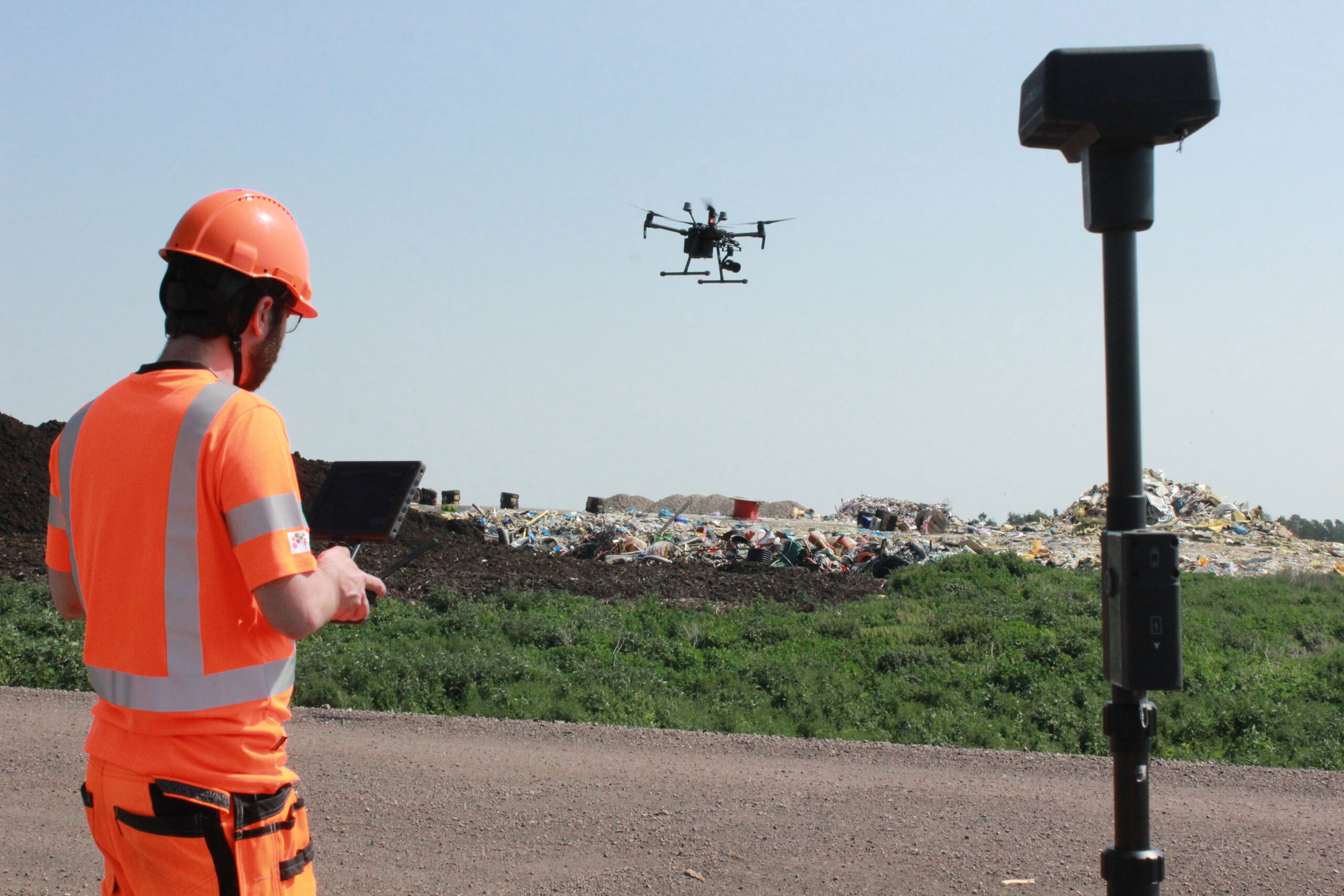
The purpose of this project was to produce comprehensive documentation regarding possible landfill gas leakages on two different landfill cells and determine location and concentrations. To meet customers´ needs we suggested GASTRAQ – Ground Map, a technical solution we use to systematically survey the landfill surface in search of possible point emissions by using a highly accurate measurement device connected to a GPS logging unit. Subsequently, we fly over the same landfill area with our DJI M210 RTK V2 to generate an orthomosaic with high definition.
Georeferencing the surface emissions helps us make a qualitative assessment of where leakages might be located. This kind of concentration map is then used by the landfill manager as an indicator of the permanent cap operation. Flow measurements were outside the scope of this project but could be added on top of the concentration mapping for quantification.
Pros and cons with GASTRAQ – Ground Map:
| Pros | Cons |
|---|---|
|
|

Two examples of visualization after post-treatment
