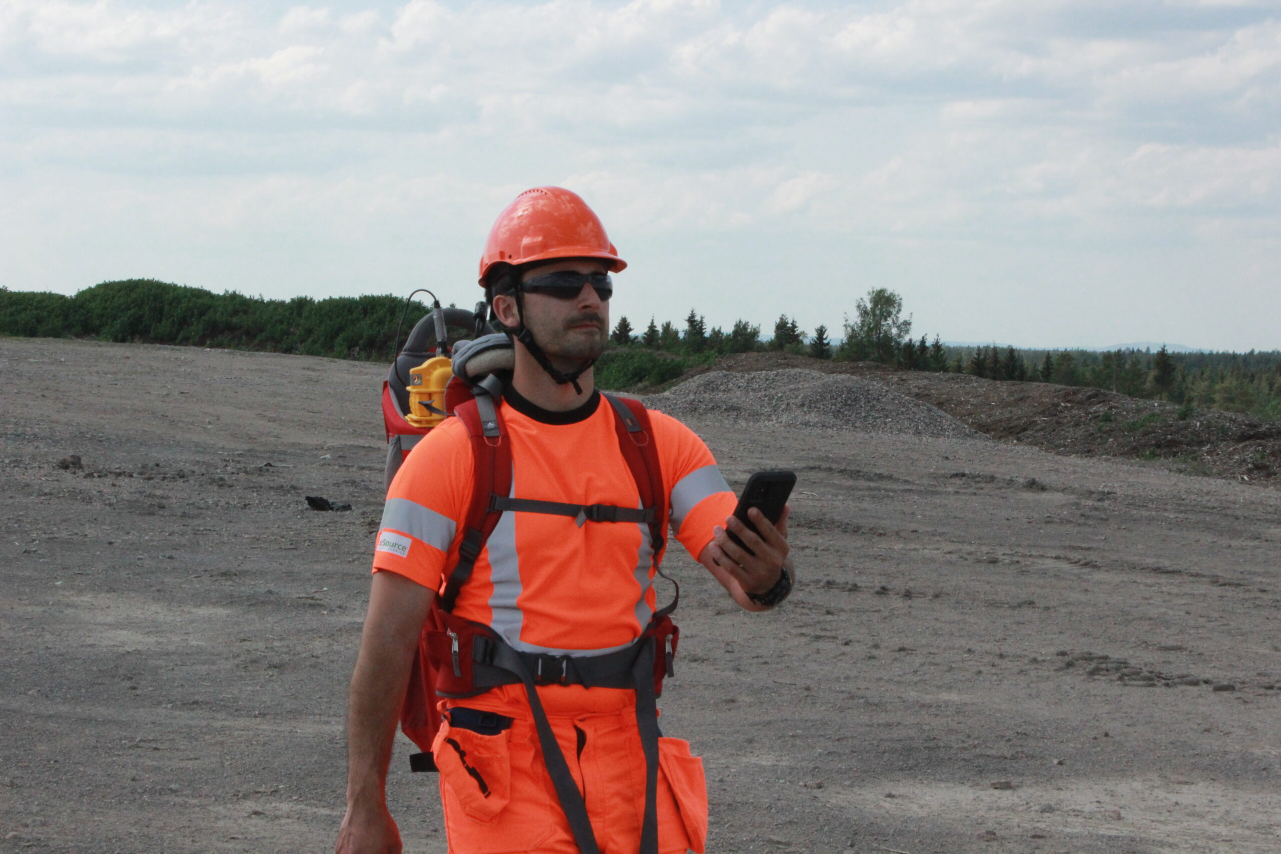
This summer in Gävle, we helped PreZero to identify emissions over the landfill surface and measure methane concentrations. In total, our technician walked 5,5 km along transects and collected 26 331 measurement points; good for science and health! We do believe in using drones for mapping, but sometimes humans are just more suitable.
We performed different surface-based measurements to reveal any presence of surface emissions even small ones. This information is precious to a landfill operator who has plans to lay new pipes or improve the gas collection, regardless if the site is active, in closure or in the aftercare phase. The same measurements can be repeated later on to see if the operation has been improved and if some areas are evolving.
We thank PreZero for their business and congratulate them for their exemplary continuous improvement approach.
Find more of our landfill related projects below:

Mapping of methane emissions on landfill surface
The purpose of this project was to produce comprehensive [...]
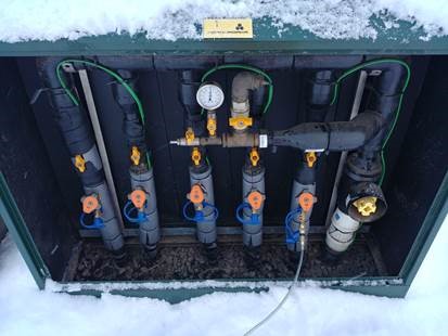
Operation of gas Collection System at the Landfill Site in Glerárdalur
Since its beginning, ReSource International has been working on developing [...]
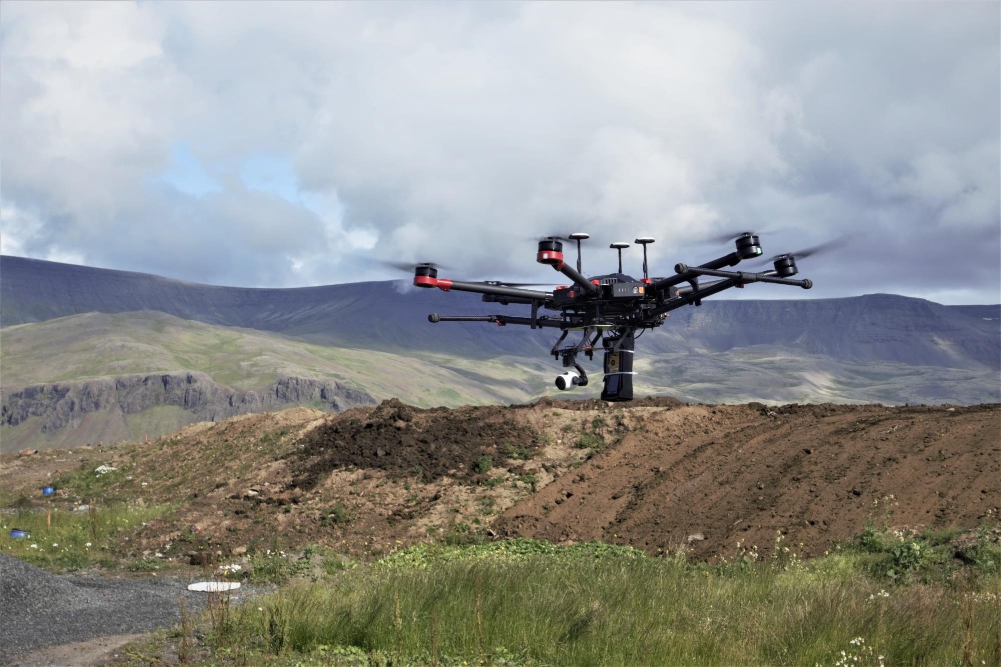
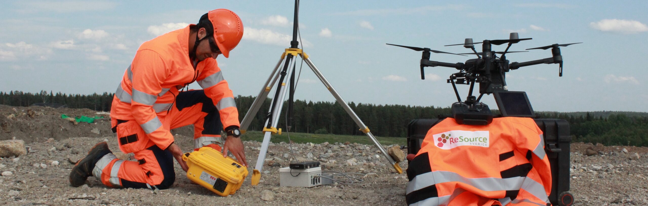
Mapping landfill methane emissions with UAV
ReSource International has developed a method to measure the concentration [...]